[bc_video video_id=”6224670332001″ account_id=”5330942424001″ player_id=”default” embed=”in-page” padding_top=”56%” autoplay=”” min_width=”0px” playsinline=”” picture_in_picture=”” max_width=”640px” mute=”” width=”100%” height=”100%” ]
It’s hard to believe it could snow this weekend when roses are blooming, trees are budding, and it’s looking a lot like spring in Victoria this January.
It’s been more like ‘Springuary’, with double-digit highs, record-breaking warmth on Friday, and temperatures an average of five to six degrees above seasonal so far this month.
But all that’s about to change as our weather pattern shifts.
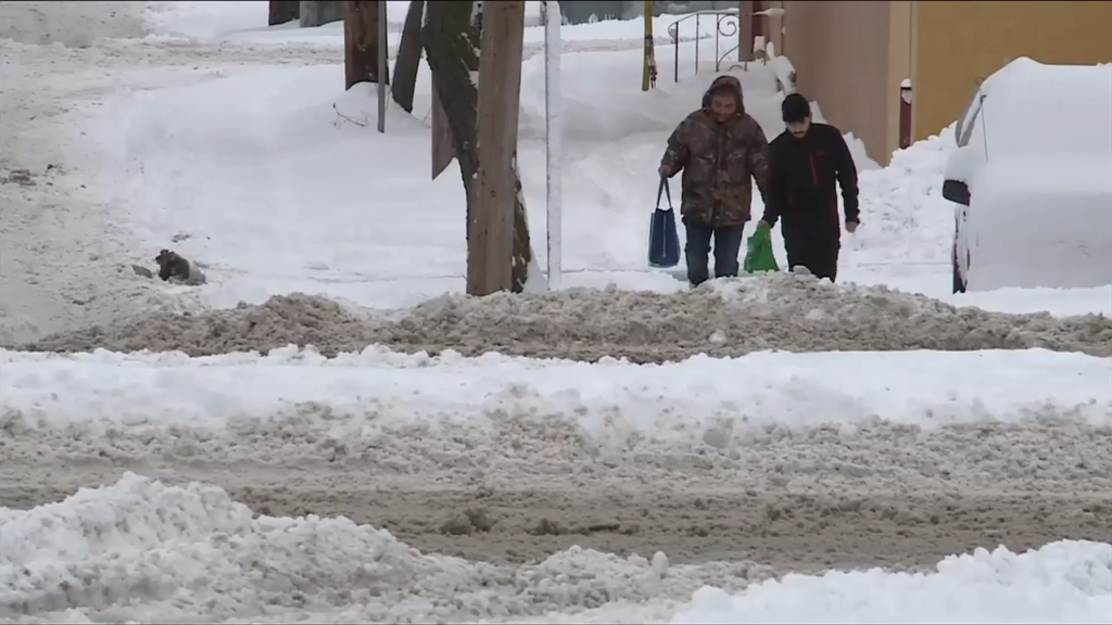
Snow is forecast for Vancouver Island this weekend, as we start to pull in some cooler Arctic air for the first time this winter.
“The La Niña pattern is finally materializing,” explains meteorologist Armel Castellan of Environment Canada. “This is going to be our first pulse and it will last a week to 10 days where things are colder or are near normal, which of course they haven’t been.”
Unlike most Arctic outflow situation, this one isn’t very strong and temperatures aren’t expected to dip too far below freezing later this week.
But it will be enough for precipitation to fall as snow or a rain/wet snow mix.
However, the storm modelling is showing a big range—from a ‘boom forecast’ of between five and 20 centimeters of snow for most of the Island to a ‘bust’ with the snow missing Greater Victoria, the Gulf Islands and much of the west Island altogether.
“This event is going to hinge on how much moisture is going to come in from the Pacific and meet this cold air we’re finally getting,” Castellan says.
It’s unlikely areas near sea level will see the kind of snowstorm we had last January, when much more frigid Arctic air plunged us into the deep freeze.
But it’s possible the storm system—which is expected to hit Saturday night into Sunday—could pick up more moisture in the next three days.
Either way, Duncan to Port McNeill will likely take the brunt of it and higher elevations, including the Malahat and Sutton Pass, should see decent accumulations.
Another system, that has the potential to bring more snow, is also headed our way next week.

