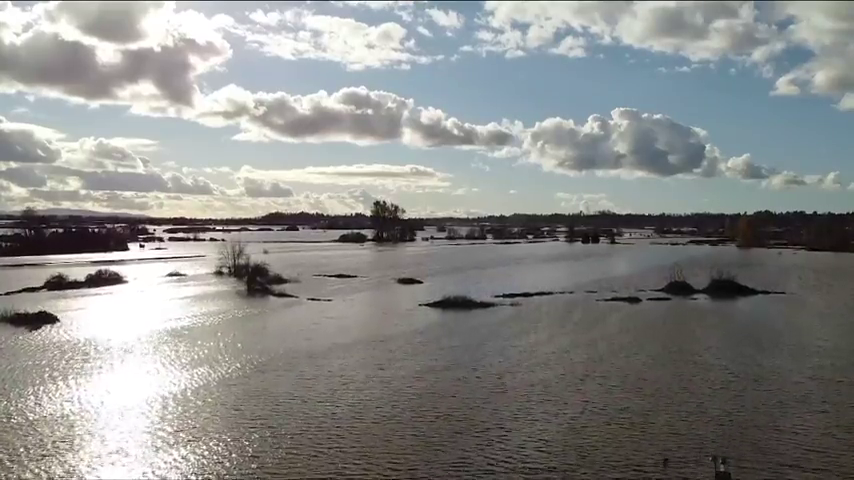
Officials in British Columbia are closing some roadways as forecasted heavy rainfall and warming weather increases the risk of flooding in parts of the province’s north and Interior.
The Transportation Ministry says Highway 1 between Lytton and Spences Bridge, which was damaged in washouts last year, was closed yesterday as a precaution and a geotechnical assessment has been ordered.
Another stretch of the same highway near Salmon Arm, B.C., between Tappen Beach Road and 65 Avenue, is down to single-lane alternating traffic due to muddy debris.
Cold, rainy weather delayed the spring thaw by about a month and there’s concern that several days of above-average temperatures could cause heavy snowpacks to melt rapidly and overwhelm some waterways.
The River Forecast Centre says current modelling suggests possible flooding this weekend, with parts of the Okanagan and Boundary regions among the hardest hit depending on rainfall amounts.
Emergency officials have put residents in several communities on notice with evacuation alerts, saying they should be prepared to leave if the flood risk increases.
They cover areas in Coalmont and Tulameen northwest of Princeton, Smithers and along the Skeena River north of Terrace.

