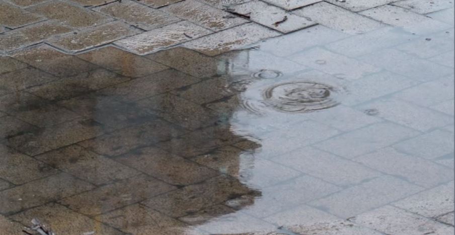
A winter storm is expected to bring heavy rainfall to parts of Vancouver Island from Thursday to Saturday.
A rainfall warning has been issued for east, inland and west Vancouver Island.
Environment Canada said on west and inland Vancouver Island, rain will become heavy tonight and continue until Saturday morning as a low-pressure system with subtropical moisture moves onto the B.C. coast. A total of 100 to 150 millimetres of rain is expected fall by Saturday morning in those areas.
East Vancouver Island will also see rain overnight, which will intensify on Friday before easing midday Saturday as the low-pressure system leaves the area. East Vancouver Island is expected to see 60 mm of rain by Saturday.
North Vancouver Island is under a wind warning. The area is expected to see southeast winds of 90 km/h today, before it eases and shifts to the southwest early this afternoon.
The B.C. River Forecast Centre has issued a high streamflow advisory for the following areas on Vancouver Island. High streamflow advisories are issued when river levels are rising or expected to rise rapidly, but that no major flooding is expected. Minor flooding in low-lying areas is possible.
- West Vancouver Island including rivers and tributaries around Tofino, Ucluelet, Bamfield and Port Renfrew
- North Vancouver Island including rivers and tributaries around Quatsino Sound, Zeballos, Tahsis, and Gold River
- Central Vancouver Island including the Sproat and Somass Rivers and tributaries around Port Alberni
- South Vancouver Island including the Cowichan River
The source of the atmospheric river is from the sub-tropics, and in addition to precipitation, temperatures are expected to warm, with freezing levels pushing above 2000 m by late-Friday.
Rivers are expected rise through Friday and into Saturday due to the rainfall. The forcast centre said current hydrologic modelling is indicating the potential for flows to reach or exceed five-year flows. The advisory could be upgraded to a flood watch on Friday if there is more certainty of reaching these river levels.
While rainfall amounts are forecast to be lower in inland areas of Vancouver Island, persistent wet weather over the past few days has led to high lake levels on Cowichan Lake and Sproat Lake, the forecast centre said.
Outflow from these lakes is expected to exceed levels that have been experienced so far this season, and high streamflow is expected downstream in the Sproat and Somass Rivers and the Cowichan River.
The public is advised to stay clear of the fast-flowing rivers and potentially unstable riverbanks during the high-river-level period.


