WATCH: Thursday’s fall snowfall might be an early indication of conditions to come. Meteorologists predict the province will be hit by an unseasonably cold and snowy winter. Let’s bring in our Ceilidh Millar looks ahead at the weather season.
Winter hasn’t officially started quite yet, but Environment Canada is already predicting colder than normal temperatures over the next three months on Vancouver Island.
According to Environment Canada, there is a 50 to 60 per cent chance that temperatures will be below normal from November 2017 to January 2018. The weather agency determined the forecast probability based on three equiprobably categories from 1981 to 2010 climatology. The forecast was produced on Oct. 31.

Environment Canada’s temperature forecast for November to January. (Environment Canada)
A weak La Niña pattern is expected to develop this winter over the Pacific Ocean. The term refers to period cooling of ocean surface temperatures in the central and east-central Pacific Ocean, which can impact weather patterns around the world.
“For Canada, that often means cooler and wetter [conditions] for the West Coast,” said CBC Meteorologist Johanna Wagstaffe. “A jet stream rides up from the south often in this scenario, bringing us more precipitation while a northern jet stream locks in arctic air.”
While the heaviest snow is expected to be confined to the mountains in British Columbia, some snow is expected around Vancouver and Victoria.
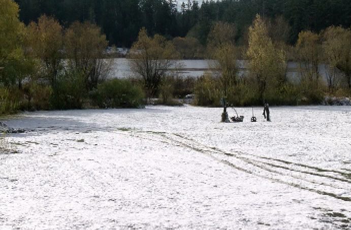
By Friday morning, seven centimetres of snow had accumulated at Victoria International Airport. This is the earliest recorded snowfall since 1991. Victoria had its first recorded snowfall ahead of Toronto, Ottawa, Montreal and Halifax.
“We do expect to see a few of these arctic outbreaks every winter, but this is a little bit early,” said meteorologist Alyssa Charbonneau of Environment & Climate Change Canada on Thursday. “Normally we would see this at the end of November into the start of December.”
Environment Canada has issued another special weather statement for all of Vancouver Island. The weather agency said a new round of low pressure will bring snow on Saturday.
While more snow is expected all over the south coast, the highest snowfall amounts are expected on Vancouver Island where there is potential for accumulations to exceed five centimetres.
The meteorological winter begins on Dec. 1, 2017, and will end on Feb. 28, 2019. The astronomical winter begins on Dec. 21, 2017 and ends on March 20, 2018.

Drivers pass by snow on the Malahat on Nov. 3, 2017.