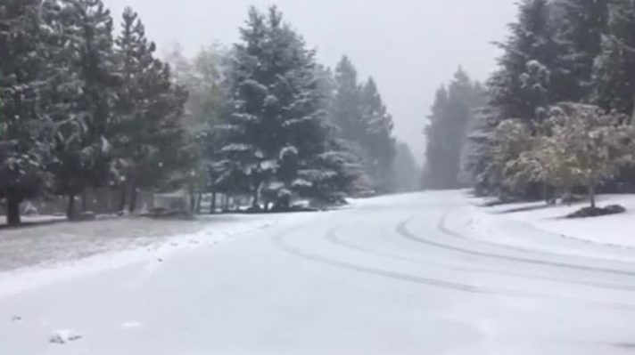
Snow covers the ground in the Comox Valley on Nov. 4.
Vancouver Island residents should get to ready to see more rain and snow on Wednesday.
Environment Canada has issued a special weather statement for Inland Vancouver Island, Greater Victoria, the Southern Gulf Islands and East Vancouver Island, including Courtenay to Campbell River, Duncan to Nanaimo and Nanoose Bay to Fanny Bay.
According to the weather agency, a slow-moving cold front will approach the South Coast on Tuesday night. Outflow winds will then intensify through the Fraser Valley and Howe Sound. Many areas may see snow or mixed rain and snow as bands of moisture accompanies the front.
Based on current forecasts, Environment Canada expects that a weak band of precipitation will arrive over the South Coast early Wednesday morning followed by a stronger band later in the afternoon or evening.
Environment Canada said there is uncertainty about the timing of the precipitation and the likelihood of snow. Communities at a higher elevation and areas exposed to outflow winds, including East Vancouver Island, will likely see snow.
North Vancouver Island and Haida Gwaii are currently under a wind warning. Strong southeasterly winds of 80 to 100 kilometres an hour will develop over Haida Gawii this afternoon and spread to the exposed coastal sections of North Vancouver Island near midnight. The strong
Environment Canada warns that the winds can cause building damage. High winds may also toss loose objects and cause tree branches to break.
Statement issued for BC south coast incl #Vancouver #Victoria for incoming mix of rain & snow on Wednesday. https://t.co/CUnDSedYW2 #BCstorm pic.twitter.com/nXziiJs1gy
— ECCC Weather BC (@ECCCWeatherBC) November 6, 2017

