
WATCH: Vancouver Island is bracing for a big blast of winter that could bring up to 15 cm of snow to some areas. Tess van Straaten reports.
It’s all hands on deck at Mainroad Contracting as Vancouver Island road crews get ready for a big blast of winter.
“We’re just getting all of the equipment ready,” says Mainroad operations manager Stuart Eaton. “We have a large stock of salt, sand and brine. Mainraod’s number one priority is the safety of the travelling public so we’re monitoring it really closely.”
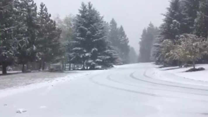
A deepening low-pressure system is barreling towards the B.C. South Coast and could bring up to 10 or 15 centimetres of snow to higher elevations, like the Malahat.
“We’re monitoring the roads 24 hours a day looking at temperatures, all different scenarios on what we should be using should the worst happen,” says Eaton.
B.C. Transit is also is also revving up preparations, putting studded tires on all of the double-decker buses to help with traction, bringing in extra staff, and looking at contingency plans.
“If there are challenging areas in the Victoria and the Greater Victoria area we do our best to avoid those areas or look at modifications to routes if we think there could be trouble in those areas,” says Jonathon Dyck of B.C. Transit.
The storm is forecast to start as rain overnight Monday and then turn to snow in some areas on Tuesday, or a mix of rain and snow, as the temperature drops.
“We’re going to see the freezing level drop gradually during the day and it’s probably going to become mixed with snow in the afternoon, especially if you’re at higher elevations away from the ocean,” says Environment Canada meteorologist Matt MacDonald.”
Environment Canada says snowfall amounts will vary “significantly” from region to region.
“This is a really tricky forecast,” MacDonald says. “Oceanside communities might not see anything at all.”
That could change Thursday, with a second blast of winter sending frigid arctic air from the B.C. Interior towards the coast. It has the potential to suck up moisture from the Strait of Georgia and cause ‘strait-effect snow’, which is like lake-effect snow, and highly variable.
“It’s actually the communities closest to the ocean that have the best chance of these snowfall amounts, depending on where these streamers or lake effects snow bands set up,” says MacDonald.
Those bands could bring five or 10 cm of snow in just a few hours on Thursday while areas outside of the strait effects snow bands may just have cloud cover or a few flakes so there are lots of variable with both systems.
Environment Canada has issued a special weather statement for snowfall for Greater Victoria, east and inland Vancouver Island, starting tonight. File photo.

