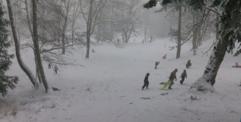
Environment Canada said heavy, wet snow is in the forecast for inland and east Vancouver Island this Tuesday.
Inland Vancouver Island and east Vancouver Island, from Courtenay to Campbell River, Duncan to Nanaimo and Nanoose Bay to Fanny Bay are under a special weather statement.
According to the weather agency, a favourable set up for low elevation snow over the south coast is shaping up for Tuesday and Tuesday night. A front will track down the BC coast beginning Tuesday morning and combine with a cool air mass to produce snow across the south coast lowlands.
Environment Canada said snowfall amounts will vary across Vancouver Island because the air is cool but not Arctic. The amount of snow depends on proximity to water, elevation and intensity of the precipitation.
Over east Vancouver Island and inland Vancouver Island, two to 10 cm of heavy, wet snow is expected by Tuesday afternoon. The best chance for higher accumulations will be inland and away from the Strait of Georgia. Higher elevations of the inland highways could get 10 cm of accumulation.
Warmer air will arrive Tuesday afternoon and the snow should transition to rain throughout the region.
Howe Sound will see 10 to 15 cm of total accumulation by Tuesday night.
Warmer air is expected to arrive faster over Vancouver Island and the transition to rain there will start Tuesday afternoon.
Precipitation should change to rain everywhere across the south coast lowlands by Wednesday as a flow of milder Pacific air returns.


