Most of Vancouver Island is under a smoky skies advisory Sunday as a state of emergency remains in place across British Columbia, where threatening wildfires are forcing thousands of residents to evacuate their homes.
The B.C. government issued the advisory Sunday, saying regions throughout the province, including east, inland, west and south Vancouver Island, will be impacted by wildfire smoke over the next 24 to 48 hours.
On the Island, municipalities like Victoria, Saanich, Langford, Sidney, Duncan, Nanaimo, Courtenay, Campbell River, Port Alberni, Tofino and Ucluelet are included in the advisory. The North Island, however, is not included, and the full list is here.
Smoke from the Interior
According to the BC Wildfire Service online map, more than 385 wildfires are burning across the province, with the epicentre of firefighting resources in the Okanagan in the southern Interior near West Kelowna and Kelowna.
That’s where the McDougall Creek fire is burning at an estimated 11,000 hectares, and where a travel ban is in place until Sept. 4, 2023, to free up accommodations, including hotels and RV parks, for the estimated 35,000 local evacuees.
Fire crews from Vancouver Island have been dispatched to the area to help douse the flames, and in a statement Saturday B.C. Premier David Eby said the province was facing the worst wildfire season in its history.
“Tens of thousands of people have been evacuated and crews on the ground are battling to save people’s homes,” said Eby.
“We’re repeating our call for people to not travel to the central Interior and southeastern B.C. — and we need people to cancel any non-essential travel that takes up accommodation in communities in the Okanagan,” added Emergency Management Minister Bowinn Ma.
There are also two out-of-control, lightning-caused wildfires in the Strathcona Provincial Park region on the Island, including on Mount Con Reid and north of Wolf River where, as of Sunday, they measure 395 and 107 hectares respectively.
READ ALSO:
- BC Wildfire Service continues to monitor out-of-control wildfires on Vancouver Island
- Island fire departments send crews to Kelowna to help battle wildfire
“Due to some increased fire activity, we did see those fires producing smoke and it’s highly visible from a wide area, including Campbell River, Courtenay, Comox and Gold River,” fire information officer Kimberly Kelly told CHEK News Saturday.
Kelly said there was no plan to send firefighting resources to the fires since they are located in remote areas and believed to be naturally caused.
‘Moderate’ air-quality risk for Island
Environment Canada’s Air Quality Health Index also shares forecast maximums, with 1-3 meaning “low risk,” 4-6 “moderate risk,” 7-10 “high risk,” and 10+ “very high risk.” Victoria, Saanich, West Shore, Duncan, Nanaimo, Courtenay and Comox are listed at 5 Sunday afternoon and 4 Sunday evening, before dropping to 3 Monday and 2 Monday night.
The B.C. government says during a wildfire, smoke conditions can change quickly over short distances and can vary considerably hour-by-hour. It says some people are more likely to experience health issues when exposed.
“Wildfire smoke is a natural part of our environment but it is important to be mindful that exposure to smoke may affect your health,” reads the advisory.
“People with pre-existing health conditions, respiratory infections such as COVID-19, older adults, pregnant women and infants, children, and sensitive individuals are more likely to experience health effects from smoke exposure.”
This weekend, people across the Island took to social media to share photos of the smoky skies, including in Victoria, Duncan, Nanaimo, Comox and Ucluelet:
Victoria is a different story. Much more smoke here. pic.twitter.com/cWxHn7fdnT
— Nicholas M. Pescod (@npescod) August 20, 2023
Smoke on the water at #yyj this morning pic.twitter.com/b91HL8yZXl
— John Wright 🐌🌻 BadLibrarian.bsky.social (@BadLibrarian) August 20, 2023
Definite signs of #wildfire smoke here in #YYJ this morning. #BCWildfire pic.twitter.com/zMGgPxQZnr
— Tim Pearson (@tmpear) August 20, 2023
#mountprevost shrouded in #bcwildfires #smoke here in #duncan on #south #vancouverisland pic.twitter.com/8bAkfnSRRb
— Chris Saville (@theCmanchris) August 20, 2023
#WIldfire Smoke from BC Interior reached #Nanaimo this afternoon – Panasonic Lumix FZ200 & Polarizer #flickr https://t.co/szuqE6vZlY
— @StoicMeditation (@RussellMcNeil) August 20, 2023
Comox Glacier hidden behind some
Vancouver Island smoke #BCWildfires pic.twitter.com/P3e6Obknc5— Jeff (@practicallyhip) August 20, 2023
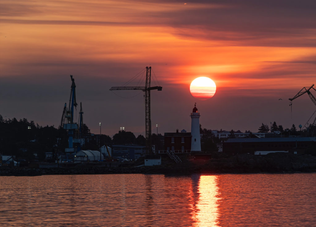
Last night from Ucluelet, BC – this is not the kind of sunset I like shooting #smokysunset #bcforestfires pic.twitter.com/A3kj0nCHk6
— David McColm (@davidlmccolm) August 20, 2023
People can find more information about the health effects of wildfire smoke and how to prepare for wildfire season here, and air quality advisories here.
-with files from CHEK’s Adam Chan; The Canadian Press
