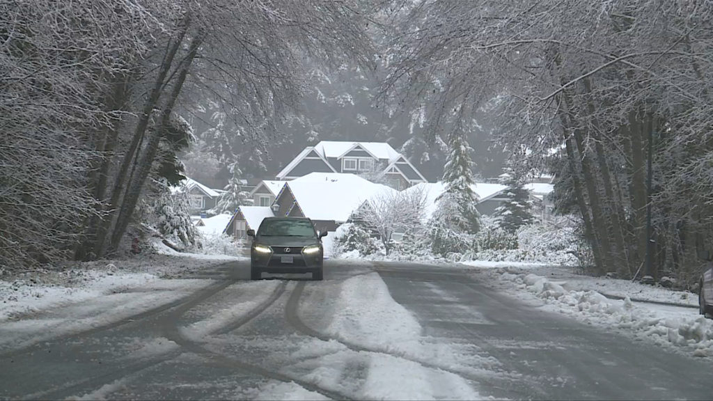
Environment Canada is forecasting that possible “heavy convective snow flurries” will hit parts of Vancouver Island on Tuesday, bringing sudden reductions in visibility throughout the day.
The weather agency says that the flurries could also cause a rapid accumulation of snow on surfaces such as roads and walkways.
“Vancouver Island and the Sunshine Coast remain under the influence of an unstable airmass,” reads a statement from the agency. “This will produce pockets of flurries today. Some of these pockets may produce short bursts of heavy snow.”
Environment Canada outlines that possible sudden flurries could hit Vancouver Island throughout the morning and into the afternoon.
Areas under the special weather statement include Fanny Bay, Duncan, Gibsons, Port Alberni, Lake Cowichan, Port Renfrew, Sooke, Jordan River, Highway 4, Malahat Highway, Powell River, Campbell River, Courtenay, Nanaimo and Port Hardy.
The weather agency is advising Island residents to be prepared for sudden changes in road conditions and sudden reductions in visibility.
“If visibility is reduced while driving, turn on your lights and maintain a safe following distance,” adds the weather statement.
Updates on road conditions can be found at www.drivebc.ca.
While a large portion of Vancouver Island is under the special weather statement for snow flurries on Tuesday, Environment Canada says that Northern Vancouver Island may see an accumulation of 10 to 20 cm of snow by Wednesday night.
